Digital tools for teaching geography
In this interview with high school teacher Stefanie Hergesell, you’ll learn why using digital tools in geography classes is so valuable and what opportunities they offer you.
In this interview with high school teacher Stefanie Hergesell, you’ll learn why using digital tools in geography classes is so valuable and what opportunities they offer you.
Why did you start to enrich your geography lessons with digital tools?
Stefanie Hergesell: Students live in a very digital world and can therefore only benefit from digital tools. On the one hand, they are more motivated and on the other hand, they learn modern ways off accessing their world. They can work cooperatively and creatively, which increases their self-efficacy. Last but not least, as a teacher, I really enjoy using new digital tools and critically questioning their advantages and disadvantages with the children.

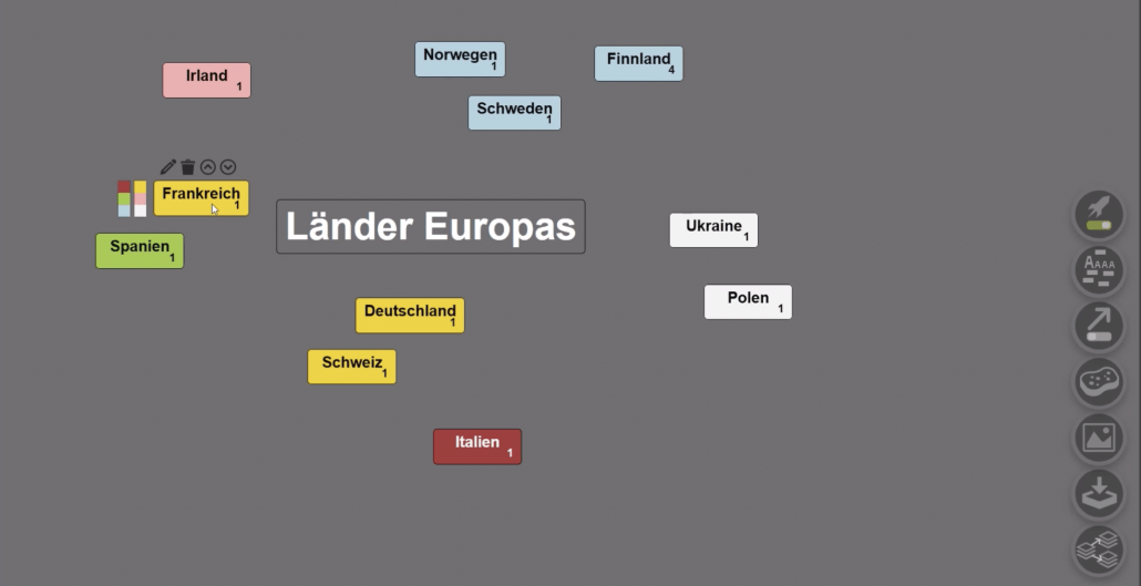
Stefanie Hergesell: In general, tools that focus on collaborative and creative work are appropriate for teaching geography. For example, children can use tools such as Google Earth or the Sketchbook app to explore the world of digital maps in a more creative and playful way. Tools such as Digital Map Inquiry make it easy to integrate children’s prior knowledge into the lesson, and creating a digital mind map allows students to create highly individualized structures.
Stefanie Hergesell: Stefanie Hergesell: Basically, I am convinced that we all need to move with the times and integrate digital tools into our teaching in an increasingly digitalized world. Digital tools offer us not only a motivating and inspiring influence on the children, but also a wonderful opportunity to address the increasing heterogeneity in the classroom.
The use of digital tools allows us to playfully integrate different levels of challenge that better match the individual knowledge levels of our students. Thus, by using digital tools in geography class, many other topics such as cooperative work, media education, creativity, and critical engagement with the digital world flow into our lessons at the same time.

Stefanie Hergesell: “Are we going to make another word cloud today?”, “Can we draw our own map on the tablet again?”, or “Are we going to make our own climate diagram again?” are phrases I hear from my students all the time. They are enthusiastic and motivated about what they are doing, trying things on their own, unprompted at home, and overcoming initial frustration when something doesn’t work right away. I think that we as geography teachers can do so much more than just read texts from books or hand out the next worksheet. Rather, our job is to get our kids excited about the world out there, and to get them to want to engage with it in their own lives, using modern, digitized tools.
Stefanie Hergesell: Let’s take a realistic look at a teacher’s day: Between correcting, supervising, teaching, and a usually brief exchange with colleagues, there is always very little time to test and try out innovative digital tools for long periods of time. So my favorites are all the tools that can be accessed and used with just a few clicks on both the PC and the tablet. This includes, for example, the tools from oncoo, such as the target or the digital map query. The Diercke homepage also offers us geography teachers a wide selection for working with geographic information systems, such as WebGIS or the Klimagraph. If there is a bit more time, I am personally a big fan of creative map work with the app Sketchbook or of course Google Earth.
In this training, you’ll learn how to use a variety of digital tools to make your geography lessons more interactive and versatile.

 Digitale Tools im Deutschunterricht